Initializing
One platform, many missions.
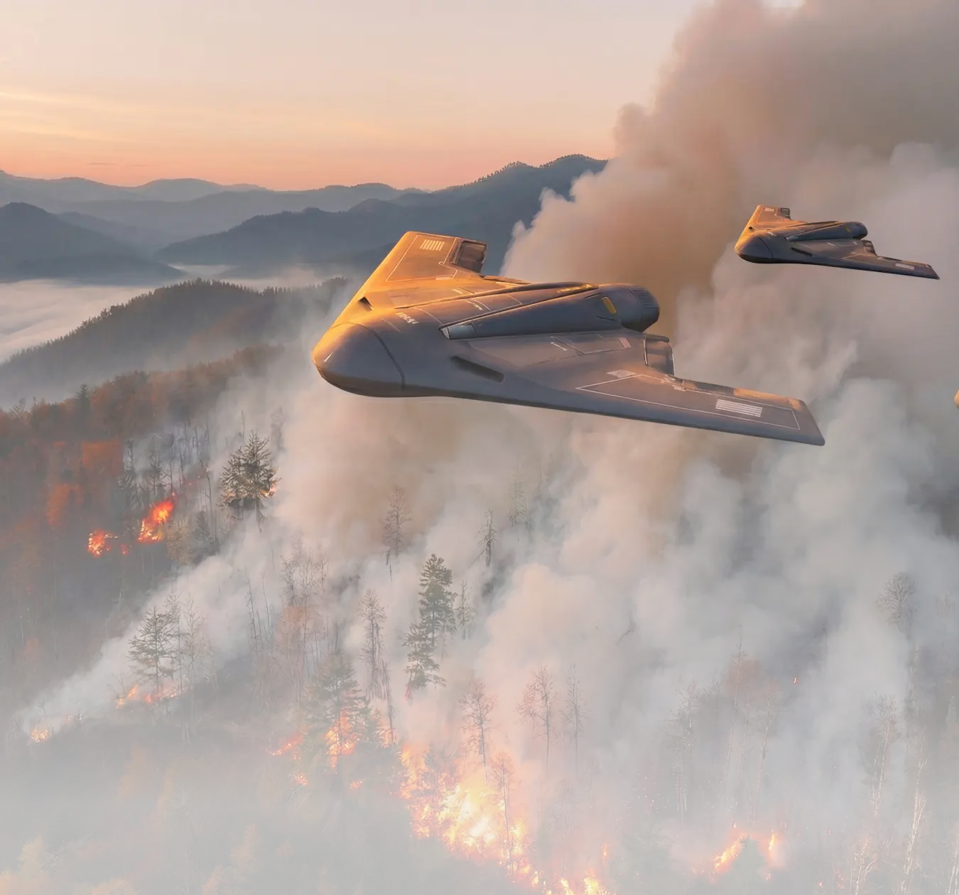
Wildfire Cascade
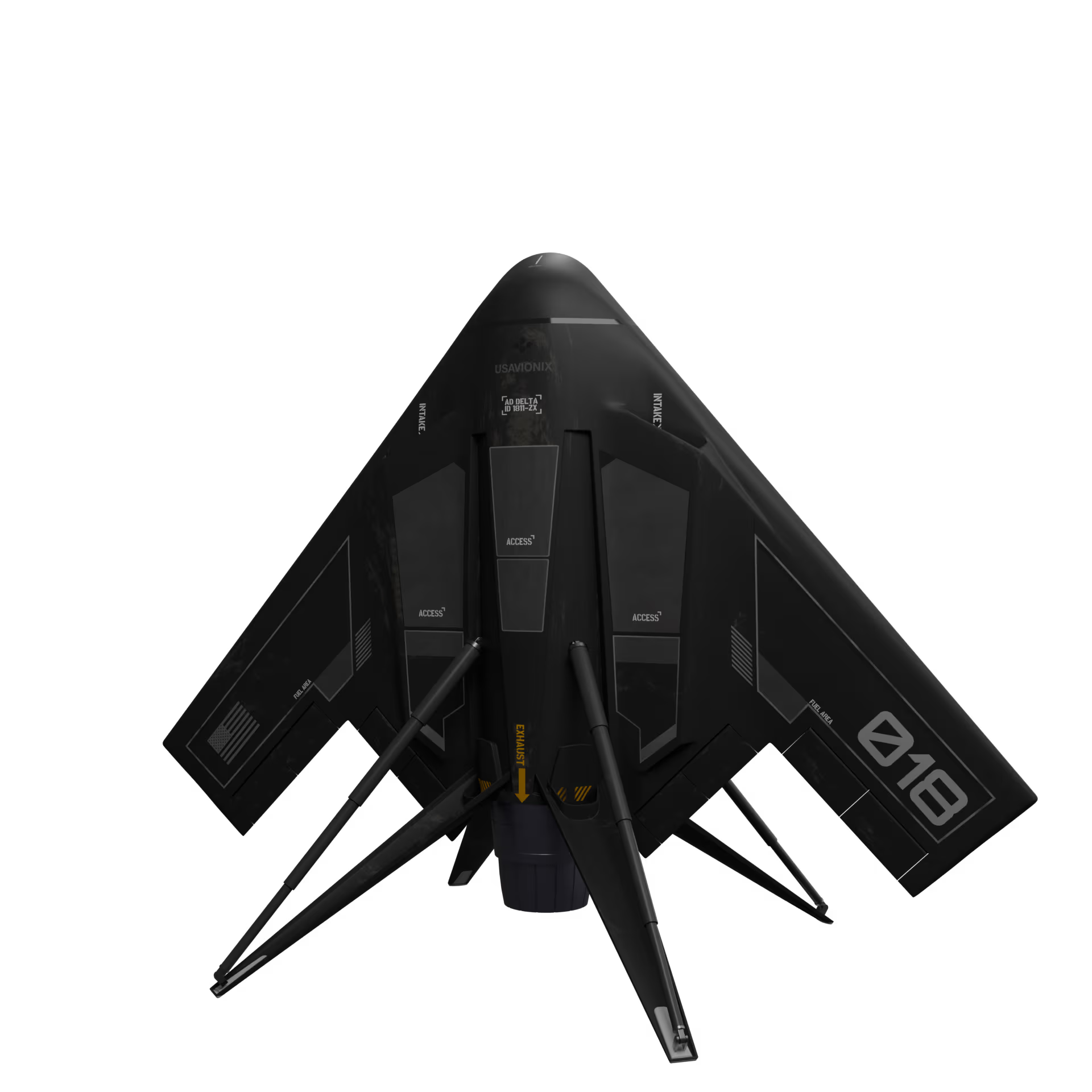
Delta drones rapidly detect ignition points, suppress advancing fires, secure nearby neighborhoods, and keep evacuation routes open until the situation is contained.
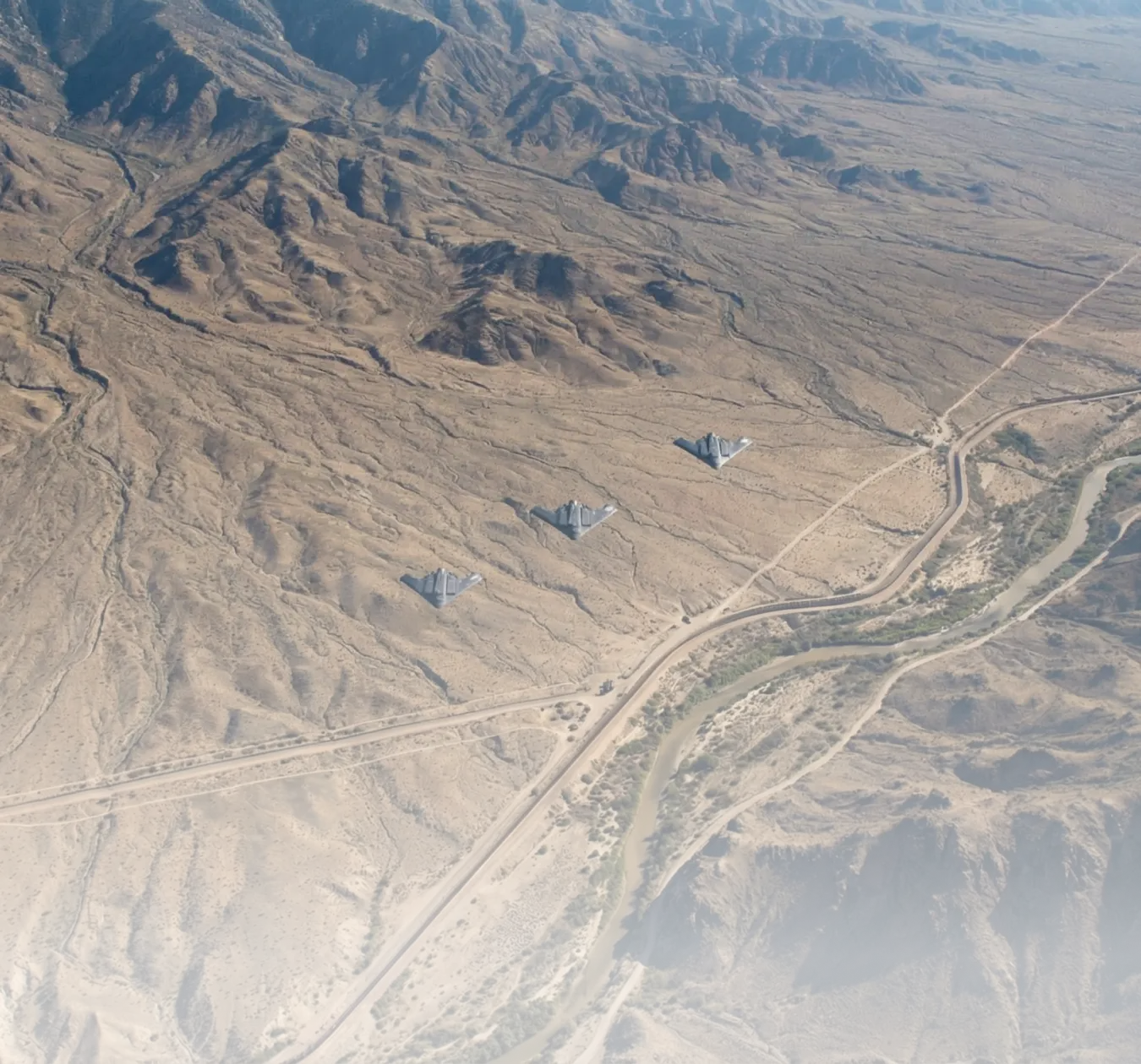
Border Storm
Autonomous surveillance units track cross-border movement, monitor hazardous conditions, and stabilize critical areas to maintain control under extreme pressure.
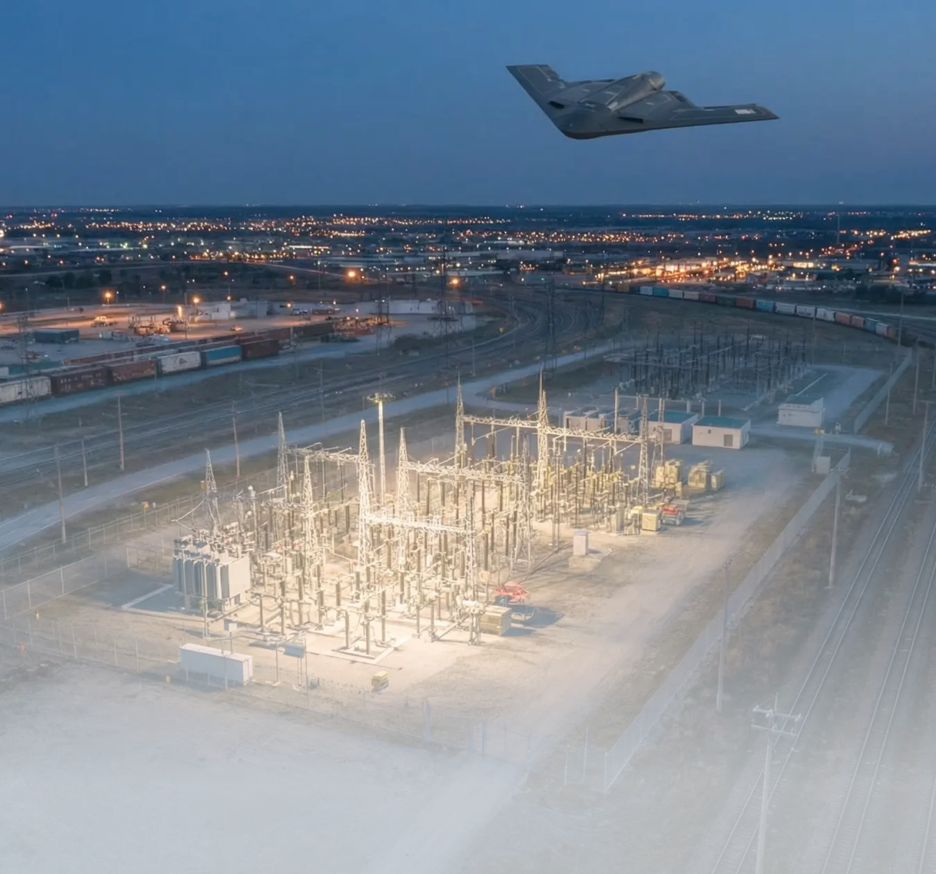
Critical Infrastructure in Crisis
Delta drones safeguard essential facilities by isolating threats, protecting surrounding areas, and supporting recovery efforts to restore critical infrastructure.
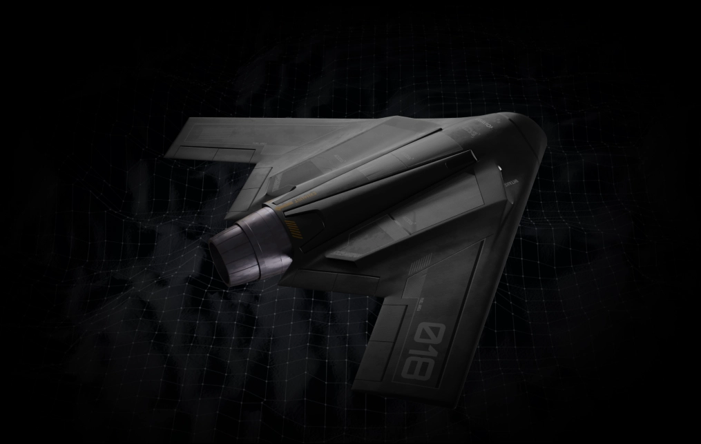
USAvionix covers vast areas and long distances across real-world missions, proving its versatility in critical operations.
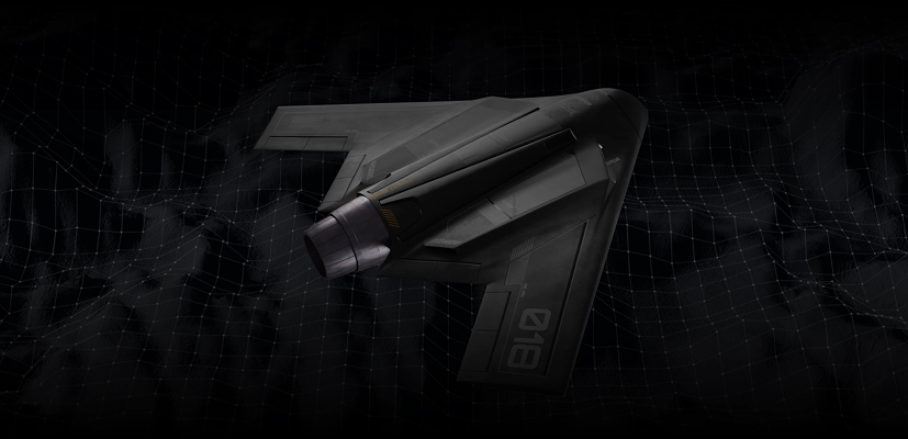
Autonomy in real operations
See the full system fly a live mission. Demo access is limited, so request a slot and we will reach out.
Founded by leaders from SpaceX, Apple, Tesla, Palantir, JPL, and elite military units, USAvionix drives breakthroughs across aerospace, defense, and frontier tech.
Ready to talk to us?
© USAvionix Inc. 2026